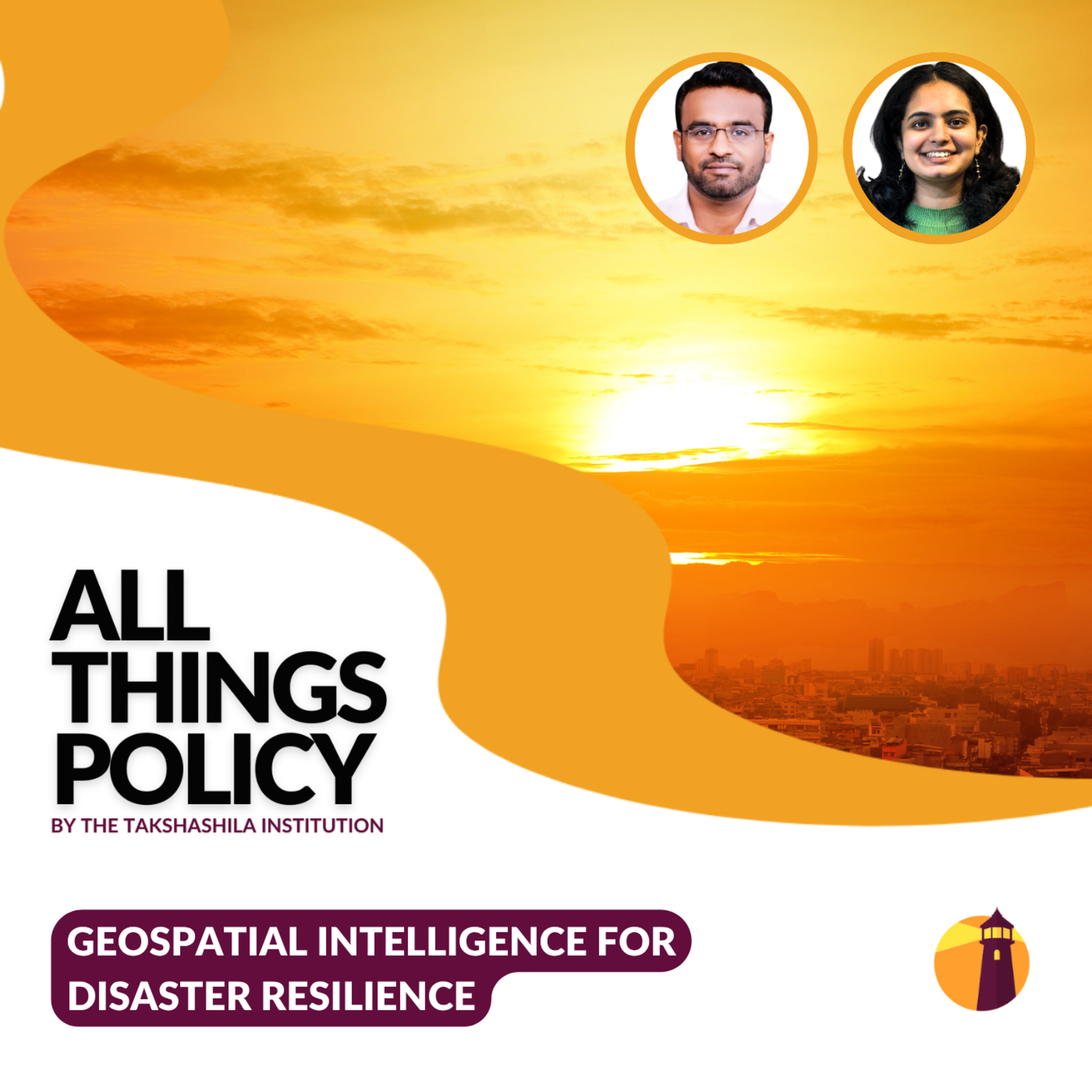
Geospatial Intelligence for Disaster Resilience
About this episode
The episode discusses how geospatial intelligence can enhance disaster preparedness and response in India.
India experiences a cycle of disasters throughout the year—from scorching heatwaves and droughts to floods, landslides, cyclones, and glacial hazards. Can technology help us anticipate these risks before they become catastrophes? In this episode of All Things Policy, Kavya Rai speaks with Prof. Y. Nithiyanandam about how satellites, GIS, remote sensing, and geospatial intelligence are reshaping disaster preparedness, response, and recovery. The discussion explores why disasters are fundamentally spatial challenges and how India can build a more proactive, data-driven disaster management system for a changing climate. All Things Policy is a daily podcast on public policy brought to you by the Takshashila Institution, Bengaluru.Find out more on our research and…
People in this episode
Host: Kavya Rai
Guest: Prof. Y. Nithiyanandam
Topics covered
- disaster resilience
- geospatial intelligence
- technology in disaster management
- climate change
- data-driven decision making
Keywords
- geospatial intelligence
- disaster management
- India
- technology
- climate change
- satellites
- GIS
- remote sensing
Mentioned in this episode
Organizations: Takshashila Institution
Places: India
More episodes of All Things Policy
- Tech Sovereignty, Geopolitics, and Open Source
- NGO Service Delivery And Civic Society Partnerships
- Tariffs and Trade Disruption — Trump and Beyond
- India's Water Troubles
- Fuel For Thought
- The Indian Radius: Endurance of the Indo-Pacific
Explore listener stats, chart rankings, contacts and more on the All Things Policy podcast page.