
Insights from recent episode analysis
Audience Interest
Podcast Focus
Publishing Consistency
Platform Reach
Insights are generated by CastFox AI using publicly available data, episode content, and proprietary models.
Total monthly reach
Estimated from 7 chart positions in 7 markets.
By chart position
- 🇨🇦CA · Careers#6430K to 100K
- 🇸🇪SE · Careers#1651K to 10K
- 🇩🇰DK · Careers#2310K to 30K
- 🇳🇴NO · Careers#3010K to 30K
- 🇵🇭PH · Careers#763K to 10K
- Per-Episode Audience
Est. listeners per new episode within ~30 days
29K to 97K🎙 Weekly cadence·5 episodes·Last published 6d ago - Monthly Reach
Unique listeners across all episodes (30 days)
58K to 193K🇨🇦52%🇩🇰16%🇳🇴16%+4 more - Active Followers
Loyal subscribers who consistently listen
17K to 58K
Market Insights
Platform Distribution
Reach across major podcast platforms, updated hourly
Total Followers
—
Total Plays
—
Total Reviews
—
* Data sourced directly from platform APIs and aggregated hourly across all major podcast directories.
On the show
Recent episodes
From Geospatial Data Scientist to Full-Time Creator with Maggie Ma
May 20, 2026
37m 47s
Chatting with the Physical World: Google's Yael Maguire on AI, Maps, and 280 Billion Images
Apr 22, 2026
37m 33s
Beyond the CSV: Visualizing POI Data for Global Expansion Strategy with Emily Lisle from Dataplor
Apr 20, 2026
42m 47s
AI Is Reshaping GIS Careers (Here's How to Stay Ahead)
Apr 3, 2026
6m 57s
Desktop GIS is Dying. Here’s What Replaced It.
Mar 20, 2026
21m 04s
Social Links & Contact
Official channels & resources
Official Website
Login
RSS Feed
Login
| Date | Episode | Description | Length | ||||||
|---|---|---|---|---|---|---|---|---|---|
| 5/20/26 |  From Geospatial Data Scientist to Full-Time Creator with Maggie Ma | In this episode of the Spatial Stack, Matt sits down with Maggie Ma, tech content creator at @maggieindata and former geospatial data scientist.Maggie left her corporate data science role last year to become a full-time content creator across Instagram, YouTube, LinkedIn, and TikTok. She's a 3x LinkedIn Learning instructor and an AI educator helping people break into data science, learn coding, and stay current with AI.We dig into the GIS title trap (and why the same job pays less under a different title), the seven internships that got Maggie into geospatial data science, cold-emailing professors and police departments, and how she positioned herself as the spatial person on non-spatial teams. We also cover the push and pull factors that led to her quitting corporate, what day in the life looks like as a full-time creator, and how she actually uses AI in her workflow today.Whether you're a GIS analyst wondering if you're underpaid, a geography student trying to land your first role, or a working data scientist thinking about going full-time creator, this conversation is full of specific tactics and honest reflections.Connect with Maggie:Instagram: https://www.instagram.com/maggieindataYouTube: https://www.youtube.com/@maggieindataLinkedIn: https://www.linkedin.com/in/maggieindataTikTok: https://www.tiktok.com/@maggieindataCHAPTERS:00:00:00 – Intro00:01:08 – Welcome and Maggie's Background00:03:26 – Statistics, Psychology, and Discovering Human Geography00:06:39 – First Job: Geospatial Data Scientist in Logistics00:08:08 – The GIS Title Trap and Salary Bands00:11:33 – Cold Emailing Into Crime Analytics and Hospital Research00:14:16 – Starting to Create Content as a Working Data Scientist00:18:50 – Push and Pull Factors for Leaving Corporate00:21:28 – Adjusting to Life Without a Job as Input00:27:33 – Vibe Coding: Lovable, Warp, and Claude Code00:29:08 – The Hidden Risks of Vibe Coding (Security, Data Leaks)00:32:08 – Using AI in Content Workflows00:36:19 – Final Advice and Where to Find Maggie📊 FREE: The Modern GIS Skill MapThe 5 skills that actually matter in modern GIS (and what you can stop learning). Based on a survey of 1,400+ geospatial professionals.➡ Get the free training + PDF guide: https://forrest.nyc/go/training/CONNECT WITH ME📸 Instagram: https://www.instagram.com/matt_forrest/💼 LinkedIn: https://www.linkedin.com/in/mbforr/📧 Newsletter: https://forrest.nyc🌐 Website: https://forrest.nyc | 37m 47s | ||||||
| 4/22/26 |  Chatting with the Physical World: Google's Yael Maguire on AI, Maps, and 280 Billion Images | What happens when you give an AI the ability to see and understand the physical world? In this episode, Matt Forrest sits down with Yael Maguire, GM and VP of Google Maps Platform and Google Earth, to unpack the massive platform shift happening at the intersection of Artificial Intelligence and geospatial technology.Yael pulls back the curtain on how Google is transforming its massive corpus of 280 billion Street View, aerial, and satellite images into a searchable, interactive database. Discover how developers, urban planners, and creatives can now ask quantitative questions about physical infrastructure, monitor disaster response in real-time, and even generate hyper-realistic, location-grounded videos using tools like Nano Banana and Veo.Whether you're building digital twins, tracking climate impact, or revolutionizing the advertising and film industries, this conversation reveals the exact tools Google is rolling out to help you build the future.In this episode, we cover:- How "Ask Maps" is changing consumer and enterprise search.- Using AI to instantly audit city infrastructure like power lines, hydrants, and potholes.- Grounding generative AI models (Nano Banana and Veo) in actual Street View imagery.- Google’s partnerships for real-time disaster response using satellite AI.- The launch of Google Earth AI and what it means for developers.LEARN MOREFull Announcement: https://mapsplatform.google.com/resources/blog/three-new-ways-to-build-with-real-world-imageryMore Google Next Announcements: https://mapsplatform.google.com/resources00:00 - Intro01:20 - Meet Yael Maguire & Google Maps Platform03:18 - The AI Platform Shift: Unpacking the New "Ask Maps"08:48 - Street View Insights: Querying 280 Billion Images with AI11:12 - Real-World Use Cases: Digital Twins & City Infrastructure14:04 - The Sky-Down View: Satellite AI & Disaster Response16:33 - Scaling Solar APIs & The Importance of Temporal Data18:58 - Unifying Street View, Aerial, and Satellite Data in BigQuery21:49 - Generative AI Meets Reality: Grounding Models in the Physical World26:19 - Democratizing Creativity: The Future of Film & Simulation30:35 - What’s Next: How Developers Can Start Using These Tools Today33:33 - The Vision for Google Earth AI: Merging Weather, Energy, and Ag Models36:11 - Outro: The Future is Spatial---🚀 Join The Spatial Lab:Stop guessing at your career path. Get direct mentorship, advanced training, and a roadmap to these high-value roles inside The Spatial Lab.👉 https://forrest.nyc/spatial-lab/📰 Daily modern GIS insights: https://forrest.nycCONNECT WITH ME📸 Instagram: https://www.instagram.com/matt_forrest/💼 LinkedIn: https://www.linkedin.com/in/mbforr/📧 Newsletter: https://forrest.nyc🌐 Website: https://forrest.nyc | 37m 33s | ||||||
| 4/20/26 |  Beyond the CSV: Visualizing POI Data for Global Expansion Strategy with Emily Lisle from Dataplor | The future is spatial, but how do we actually make sense of the data? In this episode, we sit down with Emily Lisle from Dataplor to discuss the current state of location intelligence and how to overcome the biggest location intelligence challenges facing businesses today.We dive into the data foundation, exploring the massive complexities of scaling geospatial data, consumer data, and POI data on a global level. Emily breaks down the gap between simply having access to millions of rows of location intelligence data and actually turning it into actionable business strategies.To solve this, Dataplor launched a new location intelligence platform. By making it easy to visualize location data, non-technical teams can finally execute complex spatial analysis in gis without waiting on a data scientist.We also explore powerful location intelligence use cases and location intelligence applications. Learn how real estate investors and CPG brands are using this data to fuel their global expansion strategy and retail expansion strategy by identifying market gaps and tracking competitors.Finally, Emily shares how AI location data integration and AI analysis location data are changing the game, and why establishing a verified "ground truth" is more important than ever.LEARN MORE ABOUT DATAPLORLearn More: https://www.dataplor.com/solutions/global-platform/Follow Dataplor on LinkedIn: https://www.linkedin.com/company/dataplor/Book a Demo: https://www.dataplor.com/contact/Key Takeaways- The End of the CSV: How the industry is moving from massive, hard-to-process spreadsheets to visual spatial analysis software that answers specific business questions instantly.- Finding "Ground Truth": Why relying on a single mobility signal isn't enough anymore, and how layering alternative consumer data ensures high-quality insights.- Winning Global Expansion Strategy: Real-world examples of how CPG brands and real estate investors use location intelligence platforms to spot market gaps and track global competitors.- The AI Data Revolution: How AI location intelligence and the Model Context Protocol (MCP) are transforming how we consume and personalize geospatial data00:00 Introduction to the State of Location Intelligence & Its Challenges 03:14 The Foundation: Scaling Geospatial Data & POI Data Globally 06:48 Bridging the Gap: Location Intelligence Solutions & Analytics 09:06 Overcoming Location Intelligence Data Privacy Roadblocks 14:50 Building a Location Intelligence Platform to Visualize Location Data22:42 Location Intelligence Use Cases: Global Retail Expansion Strategy28:44 Validation in Spatial Analysis Software: Finding the "Ground Truth"34:37 The Future: AI Location Intelligence & Model Context Protocol (MCP) 41:42 How to Connect with Dataplor---📰 Daily modern GIS insights: https://forrest.nycCONNECT WITH ME📸 Instagram: https://www.instagram.com/matt_forrest/💼 LinkedIn: https://www.linkedin.com/in/mbforr/📧 Newsletter: https://forrest.nyc🌐 Website: https://forrest.nyc | 42m 47s | ||||||
| 4/3/26 |  AI Is Reshaping GIS Careers (Here's How to Stay Ahead) | A viral LinkedIn post called "Something Big Is Happening" by Matt Schumer has been making the rounds and for good reason. In this episode, I break down why the pace of AI development should have every GIS professional paying attention, what I'm seeing in the geospatial space right now (from Claude Code in ArcGIS to AI-specific job postings), and the four things you should be doing right now to future-proof your career. Whether you're mid-career or fresh out of school, this one's for you.Original Article: https://www.linkedin.com/pulse/something-big-happening-matt-shumer-so5he00:00 — The Article That Went Viral00:40 — AI Coding Tools Are Changing Everything01:51 — What I'm Seeing in Geospatial Right Now02:30 — Step 1: Understand the Landscape02:49 — Step 2: Start Learning the Tools03:18 — Step 3: Architect Projects, Don't Just Prompt04:09 — Step 4: Broaden Your Skill Set04:43 — Advice for Recent Grads and Early-Career Pros05:51 — Will AI Actually Wipe Out GIS Jobs?06:42 — Wrap Up---📊 FREE: The Modern GIS Skill MapThe 5 skills that actually matter in modern GIS (and what you can stop learning). Based on a survey of 1,400+ geospatial professionals.➡ Get the free training + PDF guide: https://forrest.nyc/go/training/📰 Daily modern GIS insights: https://forrest.nycCONNECT WITH ME📸 Instagram: https://www.instagram.com/matt_forrest/💼 LinkedIn: https://www.linkedin.com/in/mbforr/📧 Newsletter: https://forrest.nyc🌐 Website: https://forrest.nyc | 6m 57s | ||||||
| 3/20/26 |  Desktop GIS is Dying. Here’s What Replaced It. | If you are still trying to run your entire geospatial workflow on a local desktop, you are fighting a losing battle. The "Modern GIS Stack" looks chaotic at first glance with dozens of logos, cloud formats, and new databases. But once you strip away the noise, there are actually only a few key layers you need to master to make it all work.🚀 Don't navigate this shift alone. Join the Spatial Lab: https://forrest.nyc/spatial-lab/In this video, I break down the architecture that is replacing the traditional GIS model. We move beyond Shapefiles and Geodatabases into the world of Cloud-Native Geospatial, showing you exactly how Storage, Compute, and Analytics have separated—and how you can use them to scale your career.📰 Daily modern GIS insights: https://forrest.nyc00:00 - The Modern GIS Chaos 00:34 - The Shift to Cloud-Native Formats 01:14 - Why Storage Buckets Replaced Hard Drives 02:07 - Essential Formats: GeoParquet, COGs & Zarr 03:57 - Adding Intelligence: STAC & Iceberg Catalogs 06:07 - Transformation & Orchestration (GDAL, dbt, Airflow) 08:30 - The 3 Engines of Modern GIS 08:48 - Engine 1: The Processing Layer (Sedona, Wherobots) 11:19 - Engine 2: The Transactional Layer (PostGIS) 12:38 - Engine 3: The Analytical Layer (BigQuery, Snowflake, DuckDB) 14:54 - Mapping Modern Layers to Traditional GIS 16:29 - The Application Layer: Analytics & BI 17:35 - Connecting QGIS & Python to the Cloud 18:30 - Modern Web Maps (Felt, Mapbox, DeckGL) 20:24 - Conclusion: You Don't Need to Learn EverythingCONNECT WITH ME📸 Instagram: https://www.instagram.com/matt_forrest/💼 LinkedIn: https://www.linkedin.com/in/mbforr/📧 Newsletter: https://forrest.nyc🌐 Website: https://forrest.nyc | 21m 04s | ||||||
| 3/18/26 |  The Next GPS? Why GeoAI is the New Invisible Infrastructure with Pierrick Poulenas (Picterra) | Have you ever stopped to think about how GPS completely changed the world simply by becoming an invisible infrastructure running in the background of our everyday apps? According to Pierrick Poulenas, the CEO and co-founder of Picterra, the exact same pattern is playing out right now with Earth Observation and GeoAI.In this episode, we sit down with Pierrick to explore how GeoAI is bridging the gap between raw satellite imagery and accessible business intelligence. We dive into how Picterra is removing the friction of complex remote sensing data, allowing non-technical users to train machine learning models and turn planetary pixels into actionable insights. We also discuss the massive real-world impact this has on global supply chains and monitoring regenerative agriculture at scale. Plus, Pierrick shares his vision for a collaborative future in the space industry and teases an exciting new free tool for sustainability innovation.Connect with Pierrick and Picterra:https://picterra.ai/https://www.linkedin.com/company/picterra/Key Takeaways:- Why Earth Observation is following the "GPS Playbook" to reach mass adoption.- The shift from just collecting raw satellite data to creating usable applications at scale.- How human-in-the-loop design builds trust and accuracy in AI models.- Real-world use cases in spatial finance, fast-moving consumer goods (FMCG), and regenerative agriculture.---🚀 Join The Spatial Lab:Stop guessing at your career path. Get direct mentorship, advanced training, and a roadmap to these high-value roles inside The Spatial Lab.👉 https://forrest.nyc/spatial-lab/📰 Daily modern GIS insights: https://forrest.nycCONNECT WITH ME📸 Instagram: https://www.instagram.com/matt_forrest/🎵 TikTok: https://www.tiktok.com/@mbforrgis💼 LinkedIn: https://www.linkedin.com/in/mbforr/📧 Newsletter: https://forrest.nyc🌐 Website: https://forrest.nyc | 33m 08s | ||||||
| 2/17/26 |  Mastering Spatial Data in R: TidyCensus, PMTiles, & AI with Kyle Walker | In this episode of the Spatial Stack, Matt sits down with Kyle Walker, Professor of Geography at TCU and the creator of popular R packages like tigris and tidycensus.Kyle dives into why he views US Census data as critical infrastructure and how open data is fundamentally transforming decision-making across industries like real estate and energy. He shares the origin story of his open-source work, explaining why he champions the R programming language for full-stack geospatial analysis. The conversation also covers the evolution of web mapping, from the laborious process of rendering dot-density maps to the blazing-fast performance of modern tools like PMTiles.Finally, Kyle reveals how generative AI specifically Claude Code and the Zed editor is serving as his ultimate coding assistant, allowing him to rapidly build complex projects like the mapgl package and turn his ideas into reality faster than ever.Connect with Kyle:X/Twitter: https://x.com/kyle_e_walkerLinkedIn: https://www.linkedin.com/in/walkerke/Bluesky: https://bsky.app/profile/kylewalker.bsky.social00:01:00 – Welcome and Kyle Walker’s Background at TCU 00:06:18 – Why US Open Data is Critical Infrastructure 00:09:20 – Demystifying Census Data with tigris and tidycensus 00:15:48 – Applied Spatial Data: Real Estate and Forecasting Models 00:18:28 – The Evolution of High-Resolution Dot Density Maps 00:23:48 – The Human Element: How People React to Seeing Data Maps 00:29:14 – R vs. Python: Why R is a Geospatial Powerhouse 00:37:44 – Accelerating Development: Using Claude and AI for Coding 00:43:40 – The Future of Mapping: PMTiles, Segment Anything, and LLMs 00:48:18 – Where to Find Kyle’s Book, Tools, and Workshops---🚀 Join The Spatial Lab:Stop guessing at your career path. Get direct mentorship, advanced training, and a roadmap to these high-value roles inside The Spatial Lab.👉 https://forrest.nyc/spatial-lab/📰 Daily modern GIS insights: https://forrest.nycCONNECT WITH ME📸 Instagram: https://www.instagram.com/matt_forrest/💼 LinkedIn: https://www.linkedin.com/in/mbforr/📧 Newsletter: https://forrest.nyc🌐 Website: https://forrest.nyc | 50m 31s | ||||||
| 2/11/26 | 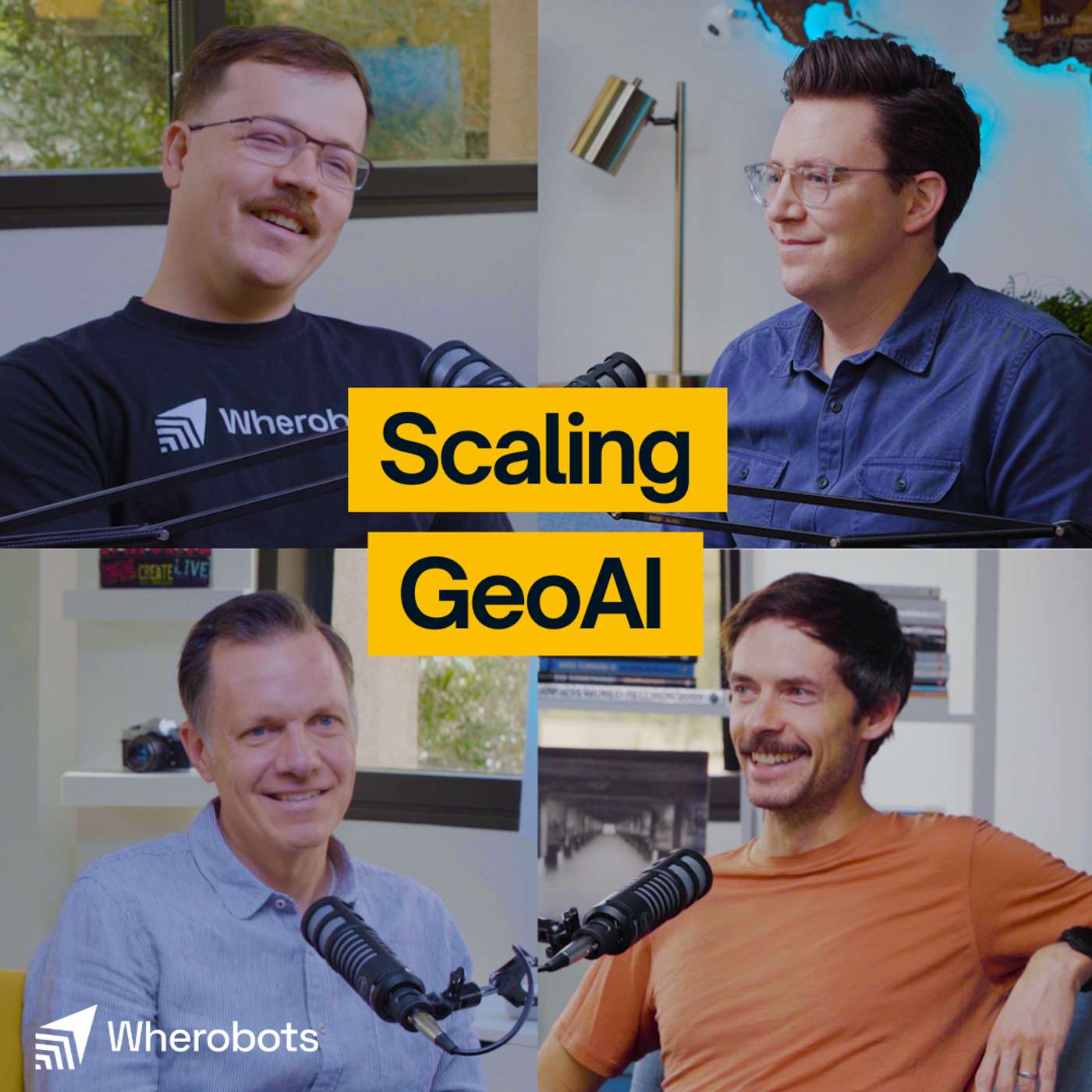 #40: The "GPT Moment" for Earth: Moving from Computer Vision to Large Earth Models | We have never had more data about our planet: petabytes of satellite imagery, aerial photos, and sensor readings collected daily. Yet, turning that massive volume of "noise" into a clear signal remains the fundamental challenge of the geospatial industry.In this episode of the Spatial Stack, I sit down with the engineering and product minds from Wherobots: Ryan, Phil, and Len - to tear down the architecture required to handle Earth Observation data at a planetary scale. We move beyond the buzzwords to discuss the engineering "war stories" of building resilient inference pipelines.We dive deep into why the industry is moving away from simple computer vision toward "Large Earth Models" that function like LLMs for the physical world. We also get into the weeds of the tech stack: the battle between Dask and Ray for distributed compute, why Cloud-Optimized GeoTIFFs (COGs) aren't always the answer for inference, and how formats like Zarr are unlocking multidimensional analysis.In this episode, we cover:The Data Bottleneck: Why "garbage in, garbage out" is still the biggest hurdle in monitoring a changing planet.Infrastructure Realities: The specific limitations of Google Earth Engine and why we needed a cloud-agnostic approach.Engineering Pivot: Why Wherobots migrated from Dask to Ray to solve "crashing cluster" syndromes and memory management issues.The Future of GeoAI: How embeddings and foundation models are compressing petabytes of data into searchable, semantic insights.✅ Sign Up for Wherobots: https://wherobots.com/✅ Learn more about Apache Sedona: https://wherobots.com/apache-sedona/✅ Learn more about RasterFlow: https://wherobots.com/blog/rasterflow-earth-observation-inference-engine/✅ Sign Up for the RasterFlow Private Preview: https://wherobots.com/rasterflow-preview/00:00 – Teaser: The "Garbage In, Garbage Out" problem in GeoAI00:01:51 – Introductions & Icebreakers (The controversial ice cream opinions)00:03:08 – The Challenge: Monitoring a changing Earth at scale00:10:30 – Data Engineering: The hidden complexity of NAIP, clouds, and tiling artifacts00:14:19 – Modeling Reality: Why Computer Vision models fail on geospatial data00:21:51 – The Google Earth Engine Debate: Walled gardens vs. bringing compute to the data00:27:53 – Introducing Rasterflow: A new architecture for scalable inference00:36:51 – The Engineering Story: Why we switched from Dask to Ray00:43:40 – File Formats: Why Zarr is superior to COGs for multidimensional inference00:47:40 – Workflow Walkthrough: Running the "Fields of the World" model00:51:40 – Embeddings, Foundation Models, and Large Earth Models00:57:40 – How to get started with Rasterflow📰 Modern GIS insights: https://forrest.nycCONNECT WITH ME📸 Instagram: https://www.instagram.com/matt_forrest/💼 LinkedIn: https://www.linkedin.com/in/mbforr/🌐 Website: https://forrest.nyc | 59m 50s | ||||||
| 2/4/26 |  #39: Why Geospatial Needs the Lakehouse with Damian Wylie | There are trillions of dollars invested in the physical world every da: infrastructure, supply chains, and our planet.Yet many of these massive decisions are made without the data to back them up. For too long, geospatial analytics has been gated behind specialized teams and siloed technology, treated as "spatial is special" rather than just another data type.In this episode, we sit down with Damian Wiley from Wherobots to break down how cloud architecture is finally closing this gap. With a heavy-hitting background from AWS EC2 and Databricks, Damian explains the shift from transactional databases to the Lakehouse architecture and why "Zero ETL" is the holy grail for data engineering. We dive deep into why spatial data shouldn't be gated, how open table formats like Iceberg are changing the game, and why the future involves AI agents that can directly query the physical world.If you are a data engineer, developer, or leader looking to unlock location intelligence without the headache of complex infrastructure, this conversation is for you.✅ Sign Up for Wherobots: https://wherobots.com/✅ Learn more about Apache Sedona: https://wherobots.com/apache-sedona/✅ What is Apache Sedona: https://wherobots.com/blog/what-is-apache-sedona/✅ Test out SedonaDB: https://sedona.apache.org/sedonadb/latest/✅ Connect with Jia on LinkedIn: https://www.linkedin.com/in/wyliedamian/00:00 - The Trillion Dollar Data Gap: Investing in the physical world without intelligence 02:15 - From AWS EC2 to Geospatial: Damian’s journey from cloud infrastructure to spatial data 06:40 - "Spatial is Special" No More: Breaking down silos and making spatial data "just data" 09:00 - The Lakehouse Advantage: Decoupling storage and compute for economic agility 12:15 - Fragmented History: Why geospatial tech became so compartmentalized 17:30 - Real-World Impact: Optimizing supply chains and climate response with frequent data 22:45 - The Economics of Analytics: Lowering the Total Cost of Ownership (TCO) for pipelines 28:30 - AI Agents & The Physical World: Connecting LLMs to ground-truth reality 37:00 - Compute Strategy: When to use OLAP vs. OLTP for spatial workloads 46:00 - Zero ETL & The Future: How Iceberg and open standards enable interoperability 51:20 - Getting Started with SedonaDB: Vibe coding and the future of spatial queries📰 Daily modern GIS insights: https://forrest.nycCONNECT WITH ME📸 Instagram: https://www.instagram.com/matt_forrest/💼 LinkedIn: https://www.linkedin.com/in/mbforr/📧 Newsletter: https://forrest.nyc🌐 Website: https://forrest.nyc | 37m 47s | ||||||
| 1/29/26 |  #38: How Apache Sedona Solved Big Data’s Hardest Problem with Jia Yu | Large Language Models can write poetry and debug code, but they still don't understand the fundamental physics of the real world. Ask an AI to find the "nearest restaurant" to a specific coordinate, and it struggles because it lacks Spatial Intelligence.In this episode, we sit down with Jia Yu, the co-creator of Apache Sedona and co-founder of Wherobots, to discuss why geospatial data breaks standard big data engines and how he built the solution that now powers over 2 million downloads a month.We trace the 10-year journey from a PhD research paper to a top-level Apache project, diving into the deep technical challenges of distributed computing. Jia explains why spatial data requires a completely different architecture than standard text or numbers and how the industry is finally moving toward a "Spatial Lakehouse" to break down data silos.In this episode, we explore:- The "Multimodality" Trap: Why mixing vector, raster, and LiDAR data crashes traditional systems.- How SedonaDB is bringing massive scale to single-node machines (so you don't always need a cluster).- The hardest problem in distributed computing - How to split a map across 1,000 servers without breaking the data.- The multi-year fight to get native geometry support into Apache Iceberg.- Why the next generation of models must evolve from text-based to spatially intelligent.✅ Sign Up for Wherobots: https://wherobots.com/✅ Learn more about Apache Sedona: https://wherobots.com/apache-sedona/✅ What is Apache Sedona: https://wherobots.com/blog/what-is-apache-sedona/✅ Test out SedonaDB: https://sedona.apache.org/sedonadb/latest/✅ Connect with Jia on LinkedIn: https://www.linkedin.com/in/dr-jia-yu/ 00:00:00 - Intro & Welcome 00:00:51 - The Origin Story: From GeoSpark to Apache Sedona 00:06:03 - Why Geospatial Data is "Special" (The Multimodality Problem) 00:09:47 - When to Move to Distributed Computing? 00:13:21 - The Secret to Maintaining a Vibrant Open Source Community00:18:11 - The Features That Drove Adoption: Spatial SQL & Python 00:22:35 - Deep Dive: How Spatial Partitioning Works 00:28:57 - Why Build a Cloud-Native Platform? 00:33:05 - The Rise of the Spatial Lakehouse & Apache Iceberg 00:40:17 - Introducing SedonaDB: A Single-Node Engine 00:45:10 - The Future: Why AI Needs Spatial Intelligence 00:48:44 - Advice for Getting Started with Spatial Engineering📰 Daily modern GIS insights: https://forrest.nycCONNECT WITH ME📸 Instagram: https://www.instagram.com/matt_forrest/💼 LinkedIn: https://www.linkedin.com/in/mbforr/📧 Newsletter: https://forrest.nyc🌐 Website: https://forrest.nyc | 54m 52s | ||||||
Want analysis for the episodes below?Free for Pro Submit a request, we'll have your selected episodes analyzed within an hour. Free, at no cost to you, for Pro users. | |||||||||
| 1/23/26 | 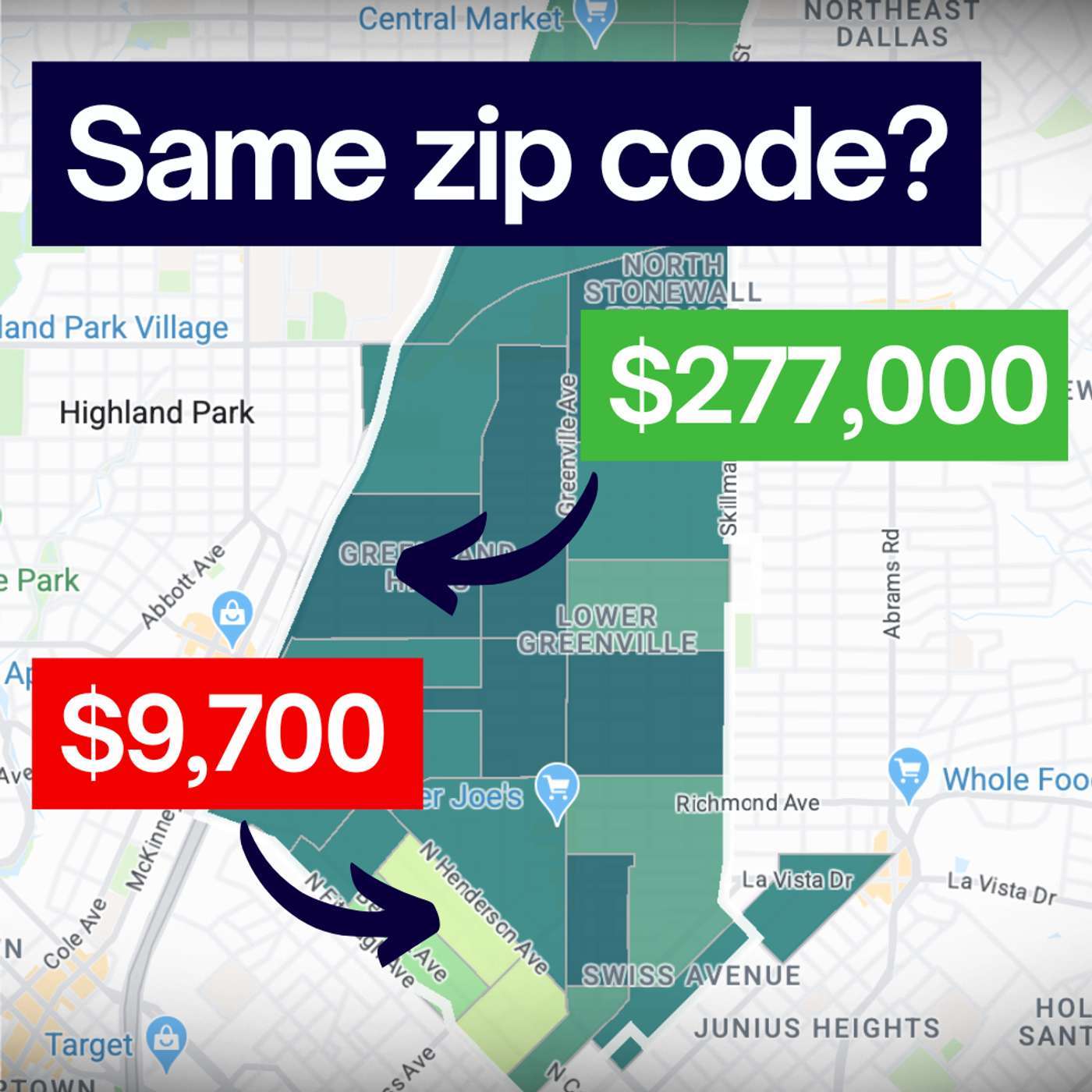 The Hidden History (and Flaws) of the Zip Code | In 1963, the US Postal Service introduced "Mr. Zip" to make mail delivery faster. They never intended for those five digits to determine your insurance premiums, your home value, or your health outcomes.In this short deep-dive, we explore how an arbitrary logistical tool became a shorthand for community and why that’s dangerous. From the misleading boundaries of Dallas, Texas, to the tragic data failures during the Flint water crisis, we uncover the real story behind the map.Listen in to learn why it's time to move beyond the zip code and start looking at the details that actually matter.---Whenever you’re ready, here are 3 ways I can help you:🎓 Modern GIS Accelerator: The step-by-step roadmap to master Python, Spatial SQL & Cloud workflows. Stop just "making maps" and start building spatial solutions. 👉 https://forrest.nyc/accelerator/🧪 The Spatial Lab: Join the top 5% of geospatial professionals in our private community. Get access to exclusive courses, mentorship, and the network you need to level up. 👉 https://forrest.nyc/spatial-lab/📰 Daily modern GIS insights: https://forrest.nycCONNECT WITH ME📸 Instagram: https://www.instagram.com/matt_forrest/💼 LinkedIn: https://www.linkedin.com/in/mbforr/📧 Newsletter: https://forrest.nyc🌐 Website: https://forrest.nyc | 10m 24s | ||||||
| 1/21/26 |  #37: From Static Maps to Living Systems: How AI Is Changing Global Mapping with Cliff Allison from TomTom | Maps have been around for thousands of years, but what they represent and how they work is changing faster than ever.In this episode, I’m joined by Cliff Allison, who has spent more than 30 years building enterprise-scale mapping systems for governments and global organizations. Today, he leads government global sales at TomTom, helping bring modern, AI-powered mapping infrastructure to some of the most demanding use cases in the world.We talk about how maps have evolved from static snapshots into living systems that update continuously, how open standards and collaboration made global mapping possible at scale, and why machines are now increasingly interacting with maps and with each other.We also explore what this shift means for defense, intelligence, humanitarian response, and decision-making, and why mapping is no longer just a visualization layer, but a foundational system for understanding and predicting the world.If you work in geospatial, data, AI, or infrastructure, this conversation will change how you think about maps.---Whenever you’re ready, here are 3 ways I can help you:🎓 Modern GIS Accelerator: The step-by-step roadmap to master Python, Spatial SQL & Cloud workflows. Stop just "making maps" and start building spatial solutions. 👉 https://forrest.nyc/accelerator/🧪 The Spatial Lab: Join the top 5% of geospatial professionals in our private community. Get access to exclusive courses, mentorship, and the network you need to level up. 👉 https://forrest.nyc/spatial-lab/📰 Daily modern GIS insights: https://forrest.nycCONNECT WITH ME📸 Instagram: https://www.instagram.com/matt_forrest/💼 LinkedIn: https://www.linkedin.com/in/mbforr/📧 Newsletter: https://forrest.nyc🌐 Website: https://forrest.nyc | 58m 27s | ||||||
| 1/8/26 |  #36: Why Flood Risk Data Exists (But Isn’t Easy to Access) with Kevin Bullock | We have an incredible amount of public geospatial data—high-resolution elevation, weather forecasts, floodplain maps, real-time sensors—yet most people still can’t easily answer a simple question:“What’s my flood risk right here, right now?”In this episode, I’m joined by Kevin Bullock, an aerospace engineer and remote sensing expert at Development Seed, to talk about how he turned years of geospatial expertise into Hydra Atlas, a mobile app designed to make flood risk understandable and accessible for everyday users.We explore why so much critical data remains difficult to use, how Kevin pulled together datasets from FEMA, NOAA, and USGS, and why mobile—not web—was the right platform for this problem. Kevin also shares what it was like building a geospatial app with Swift, testing real-world use cases, and designing an interface that prioritizes clarity over complexity.This conversation goes beyond flooding. It’s about modern GIS, product thinking, open data, and what happens when geospatial professionals stop building tools for other experts and start building tools for people.If you’re interested in geospatial product development, public data, mobile mapping, or turning complex systems into usable software, this episode is for you.Download HydraAtlas: https://apps.apple.com/us/app/hydraatlas/id6749492232Follow Kevin on LinkedIn: https://www.linkedin.com/in/kevbullock/---Whenever you’re ready, here are 3 ways I can help you:🎓 Modern GIS Accelerator: The step-by-step roadmap to master Python, Spatial SQL & Cloud workflows. Stop just "making maps" and start building spatial solutions. 👉 https://forrest.nyc/accelerator/🧪 The Spatial Lab: Join the top 5% of geospatial professionals in our private community. Get access to exclusive courses, mentorship, and the network you need to level up. 👉 https://forrest.nyc/spatial-lab/🧭 Career Compass: Not sure where to start? Get the fast, practical steps to land the GIS role you actually want. 👉 https://forrest.nyc/career-compass/📰 Daily modern GIS insights: https://forrest.nycCONNECT WITH ME📸 Instagram: https://www.instagram.com/matt_forrest/💼 LinkedIn: https://www.linkedin.com/in/mbforr/📧 Newsletter: https://forrest.nyc🌐 Website: https://forrest.nyc | 46m 41s | ||||||
| 12/17/25 |  #34: Everything Is Changing in Geospatial, Here’s What Actually Matters | If there’s one word to describe the past year in geospatial, it’s change.In this solo episode, I take you behind the scenes of what I’ve been seeing, hearing, and working on across geospatial, cloud, and AI over the past year, and how those shifts are shaping what actually matters heading into 2026 .I talk about:- Where AI is real vs overhyped in geospatial workflows- Why cloud-native geospatial has quietly crossed into real production systems- How formats like GeoParquet, Iceberg, and modern compute engines are changing where spatial data lives- Why architecture and systems thinking are becoming the most valuable skills in the industry- The rise of power skills (not “soft skills”) across roles like data engineering, product, architecture, and leadership- What roles are emerging, and how they actually work together in modern spatial teamsThis isn’t a predictions episode built on hype. It’s a grounded look at what changed, what didn’t, and what skills and mindsets will matter most as geospatial continues to integrate with the broader data and AI ecosystem.If you’re a GIS professional, data engineer, architect, product manager, or leader trying to understand how spatial fits into modern systems, this episode will help you frame what’s next, and how to prepare for it.---🚀 Ready to move beyond desktop GIS?Step into the Spatial Lab: a global community for ambitious geospatial professionals who want to break out of outdated workflows and join the top 5% of the field.👉 Join Spatial Lab: https://forrest.nyc/spatial-lab/🎓 Want structured, career-changing learning?🚀 Modern GIS Accelerator: https://forrest.nyc/accelerator/ — master Python, Spatial SQL & cloud workflows in 2 weeks🧭 Career Compass: https://forrest.nyc/career-compass/ — fast, practical steps to land the GIS role you want🪄 AI Copilot for GIS: https://forrest.nyc/ai-copilot-for-gis/ — learn to integrate AI into your geospatial workflows & boost your productivity📰 Weekly modern GIS insights: https://forrest.nyc⚡️ Spots for the next live cohort and mentorship cycle are closing soon, join now to lock in your place and momentum.CONNECT WITH ME📸 Instagram: https://www.instagram.com/matt_forrest/💼 LinkedIn: https://www.linkedin.com/in/mbforr/📧 Newsletter: https://forrest.nyc🌐 Website: https://forrest.nyc | 25m 55s | ||||||
| 12/10/25 | 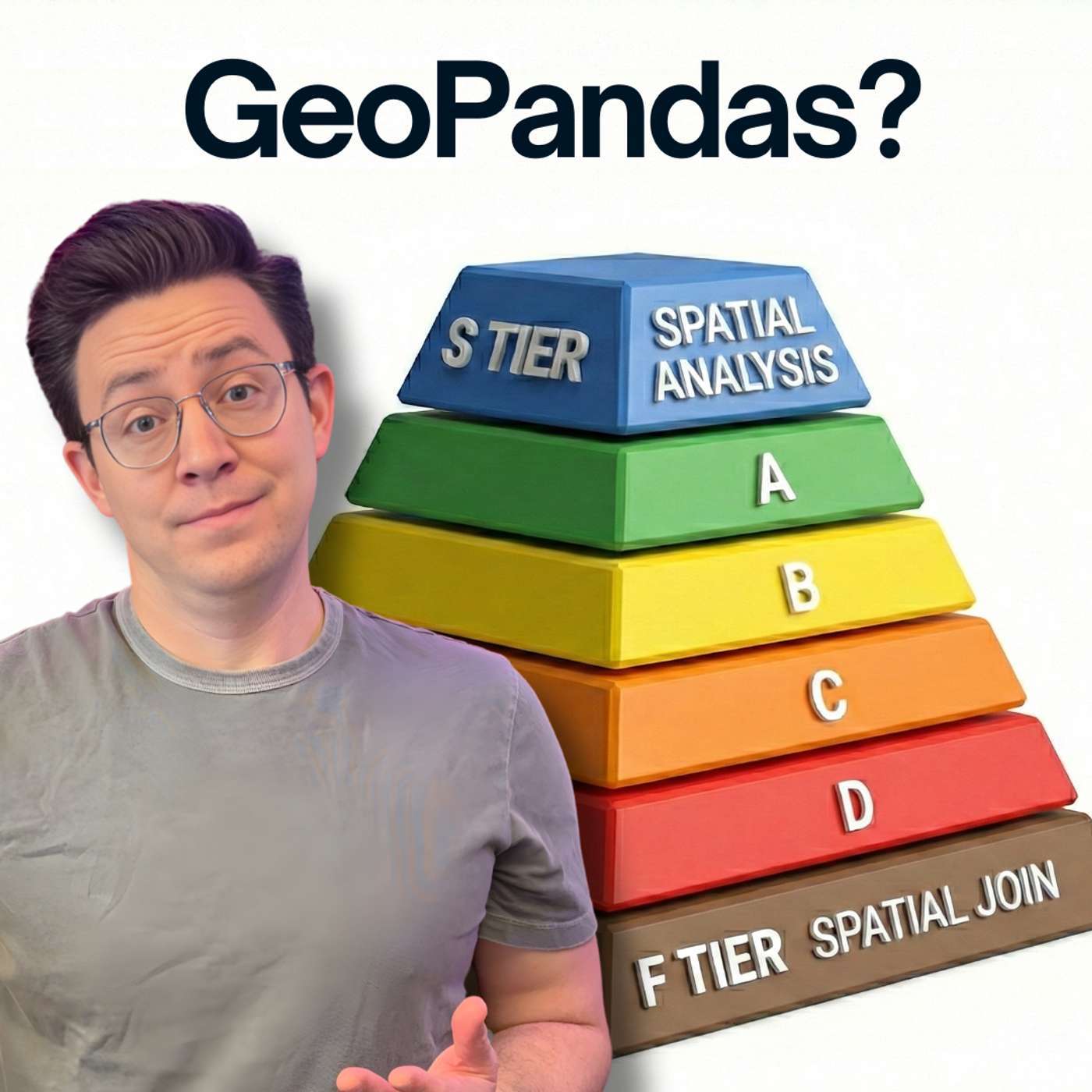 GeoPandas Is Amazing (But Not for Everything) (Bonus #33) | GeoPandas is one of the most important tools in modern GIS, but many people still aren’t sure when to use it, why it matters, or where it fits alongside tools like PostGIS, DuckDB, Apache Sedona, and cloud-native data formats.In this video, I break down GeoPandas from the ground up: what it is, how it works under the hood, its strengths and limitations, and when to choose something else. If you’ve ever worked in ArcGIS or QGIS and wondered how to bring those same workflows into Python, this is the perfect place to start.What we cover in this video:- What GeoPandas actually does (How it extends Pandas, adds geometry types, reads vector formats, and integrates tools like Shapely, Fiona, PyProj, GeoArrow, and GeoParquet)- Why GeoPandas matters in modern GIS- When GeoPandas is the right tool- When NOT to use GeoPandas- How GeoPandas fits into the modern stack (How it pairs with DuckDB, SedonaDB, PostGIS, Apache Sedona (Spark), data lakes, Iceberg, and cloud-native geospatial)- How to actually get startedThis video is for you if you are a:• GIS professionals moving into Python• Data scientists adding spatial capabilities• Engineers exploring geospatial data stacks• Anyone who wants a modern alternative to desktop GIS workflowsResources from the video- My GeoPandas Course: https://www.youtube.com/watch?v=0mWgVVH_dos- GeoPandas Documentation: https://geopandas.org/en/stable/getting_started/introduction.html- Dr. Qiusheng Wu's New Book on Geospatial Python: https://www.amazon.com/dp/B0FFW34LL3---🚀 Ready to move beyond desktop GIS?Step into the Spatial Lab: a global community for ambitious geospatial professionals who want to break out of outdated workflows and join the top 5% of the field.👉 Join Spatial Lab: https://forrest.nyc/spatial-lab/🎓 Want structured, career-changing learning?🚀 Modern GIS Accelerator: https://forrest.nyc/accelerator/ — master Python, Spatial SQL & cloud workflows in 2 weeks🧭 Career Compass: https://forrest.nyc/career-compass/ — fast, practical steps to land the GIS role you want🪄 AI Copilot for GIS: https://forrest.nyc/ai-copilot-for-gis/ — learn to integrate AI into your geospatial workflows & boost your productivity📰 Weekly modern GIS insights: https://forrest.nyc⚡️ Spots for the next live cohort and mentorship cycle are closing soon, join now to lock in your place and momentum.0:00 Intro to GeoPandas0:35 What is GeoPandas2:54 Why should you care about GeoPandas?5:12 Do you need to use GeoPandas?8:22 How do you use GeoPandas?10:59 Pitfalls of GeoPandas13:06 When NOT to use GeoPandas?14:50 Where to learn about GeoPandas?CONNECT WITH ME📸 Instagram: https://www.instagram.com/matt_forrest/💼 LinkedIn: https://www.linkedin.com/in/mbforr/📧 Newsletter: https://forrest.nyc🌐 Website: https://forrest.nyc | 18m 13s | ||||||
| 12/4/25 | 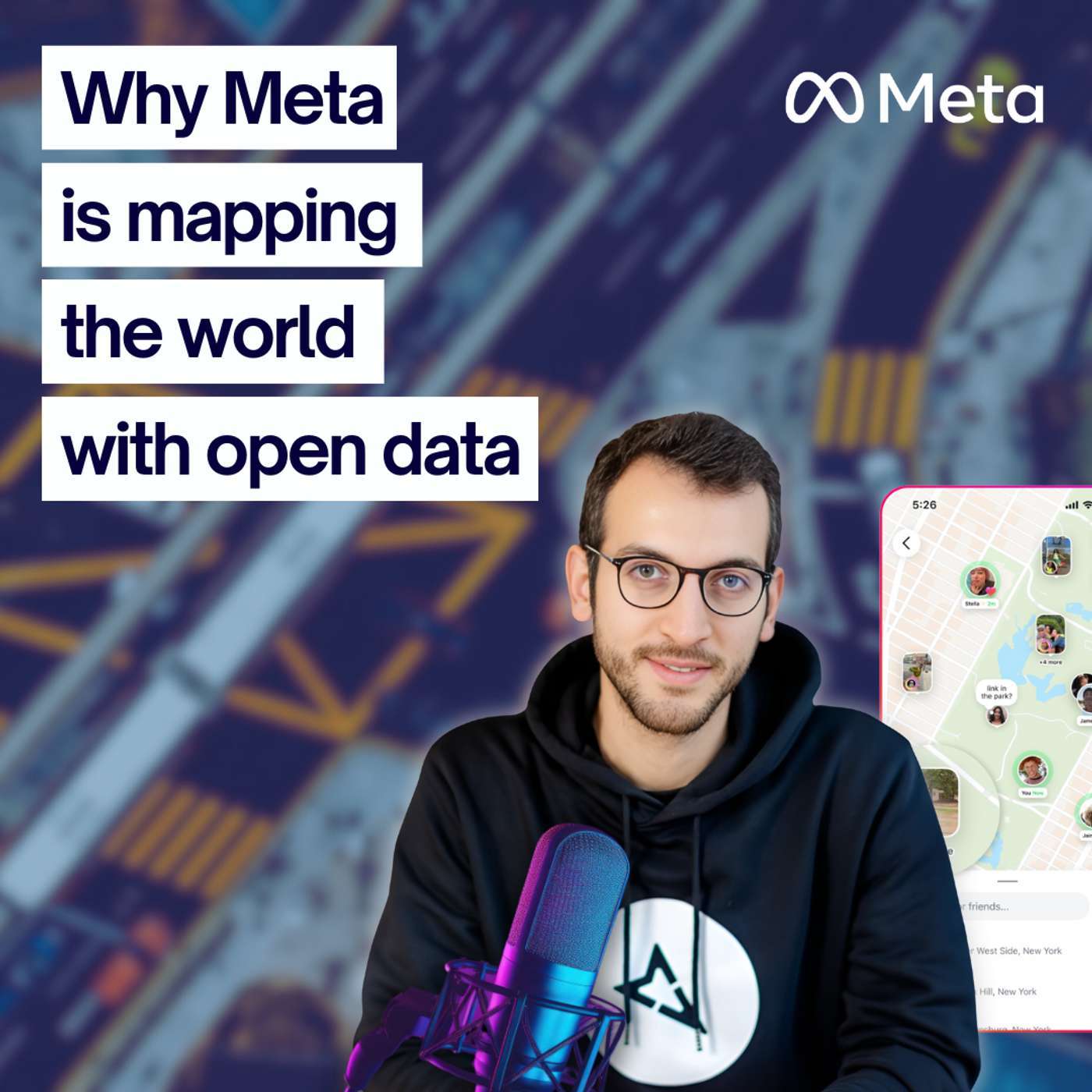 #32: Why Meta Is Betting Big on Open Maps | Meta has more than 3 billion users across Instagram, WhatsApp, and even its new AR glasses. Behind the scenes, all of them are powered by one thing: maps. But instead of relying on closed systems, Meta is betting big on open data—and building its own global map.In this episode, I talk with Said Turksever from Meta, who leads their open mapping strategy. We dive into:🌍 Why Meta cares so much about maps🛠 The tools they’re building with AI and open source🏙 How cities from Phoenix to Naples are being transformed by open data🚶 The future of pedestrian mapping and accessibility🤝 The role of communities in shaping the next generation of mapsFrom disaster response to daily navigation, the impact of open mapping stretches far beyond social media. This is a conversation about technology, community, and the future of how we navigate the world.🚀 Ready to move beyond desktop GIS?Step into the Spatial Lab: a global community for ambitious geospatial professionals who want to break out of outdated workflows and join the top 5% of the field.👉 Join Spatial Lab: https://forrest.nyc/spatial-lab/🎓 Want structured, career-changing learning?🚀 Modern GIS Accelerator: https://forrest.nyc/accelerator/ — master Python, Spatial SQL & cloud workflows in 6 weeks🧭 Career Compass: https://forrest.nyc/career-compass/ — fast, practical steps to land the GIS role you want🪄 AI Copilot for GIS: https://forrest.nyc/ai-copilot-for-gis/ — learn to integrate AI into your geospatial workflows & boost your productivity📰 Weekly modern GIS insights: https://forrest.nyc⚡️ Spots for the next live cohort and mentorship cycle are closing soon, join now to lock in your place and momentum.CONNECT WITH ME📸 Instagram: https://www.instagram.com/matt_forrest/💼 LinkedIn: https://www.linkedin.com/in/mbforr/📧 Newsletter: https://forrest.nyc🌐 Website: https://forrest.nyc | 45m 46s | ||||||
| 11/25/25 |  ArcGIS Pro: Still the Best GIS? | ArcGIS Pro has been the center of GIS workflows for decades but how does it hold up in a world moving toward open, cloud-native, and AI-powered geospatial tools? In this video, I break down what ArcGIS Pro actually is, where it shines, where it struggles, and how it fits into the modern GIS ecosystem. Whether you’re doing personal GIS projects, running a small team, or architecting enterprise-scale systems, this deep dive will help you understand when ArcGIS Pro is the right choice and when alternatives like QGIS, GeoPandas, DuckDB, PostGIS, Sedona, or cloud-native stacks might serve you better.What You’ll Learn- What ArcGIS Pro is and how it fits into Esri’s ecosystem- Its strengths in cartography, desktop analysis, 3D tools, enterprise integration, and data management- Newer support for modern formats like GeoParquet, COGs, STAC, and DuckDB- Where ArcGIS Pro begins to struggle (big data, cloud workflows, Python lock-in, cost/licensing)- How it compares to open tools like QGIS, GeoPandas, and modern geospatial data platforms- My honest assessment of whether YOU should be using ArcGIS Pro across personal, team, and enterprise use cases---🚀 Ready to move beyond desktop GIS?Step into the Spatial Lab: a global community for ambitious geospatial professionals who want to break out of outdated workflows and join the top 5% of the field.👉 Join Spatial Lab: https://forrest.nyc/spatial-lab/🎓 Want structured, career-changing learning?🚀 Modern GIS Accelerator: https://forrest.nyc/accelerator/ — master Python, Spatial SQL & cloud workflows in 2 weeks🧭 Career Compass: https://forrest.nyc/career-compass/ — fast, practical steps to land the GIS role you want🪄 AI Copilot for GIS: https://forrest.nyc/ai-copilot-for-gis/ — learn to integrate AI into your geospatial workflows & boost your productivity📰 Weekly modern GIS insights: https://forrest.nyc⚡️ Spots for the next live cohort and mentorship cycle are closing soon, join now to lock in your place and momentum.0:00 Intro to ArcGIS Pro0:31 My background with Esri1:16 What is ArcGIS 4:02 Why does ArcGIS Pro matter?7:11 Do you need to use ArcGIS Pro?12:54 How do you use ArcGIS Pro?14:50 Pitfalls of ArcGIS Pro17:47 When to use ArcGIS Pro?20:15 Where to learn about ArcGIS Pro?CONNECT WITH ME📸 Instagram: https://www.instagram.com/matt_forrest/💼 LinkedIn: https://www.linkedin.com/in/mbforr/📧 Newsletter: https://forrest.nyc🌐 Website: https://forrest.nyc | 24m 30s | ||||||
| 11/6/25 | 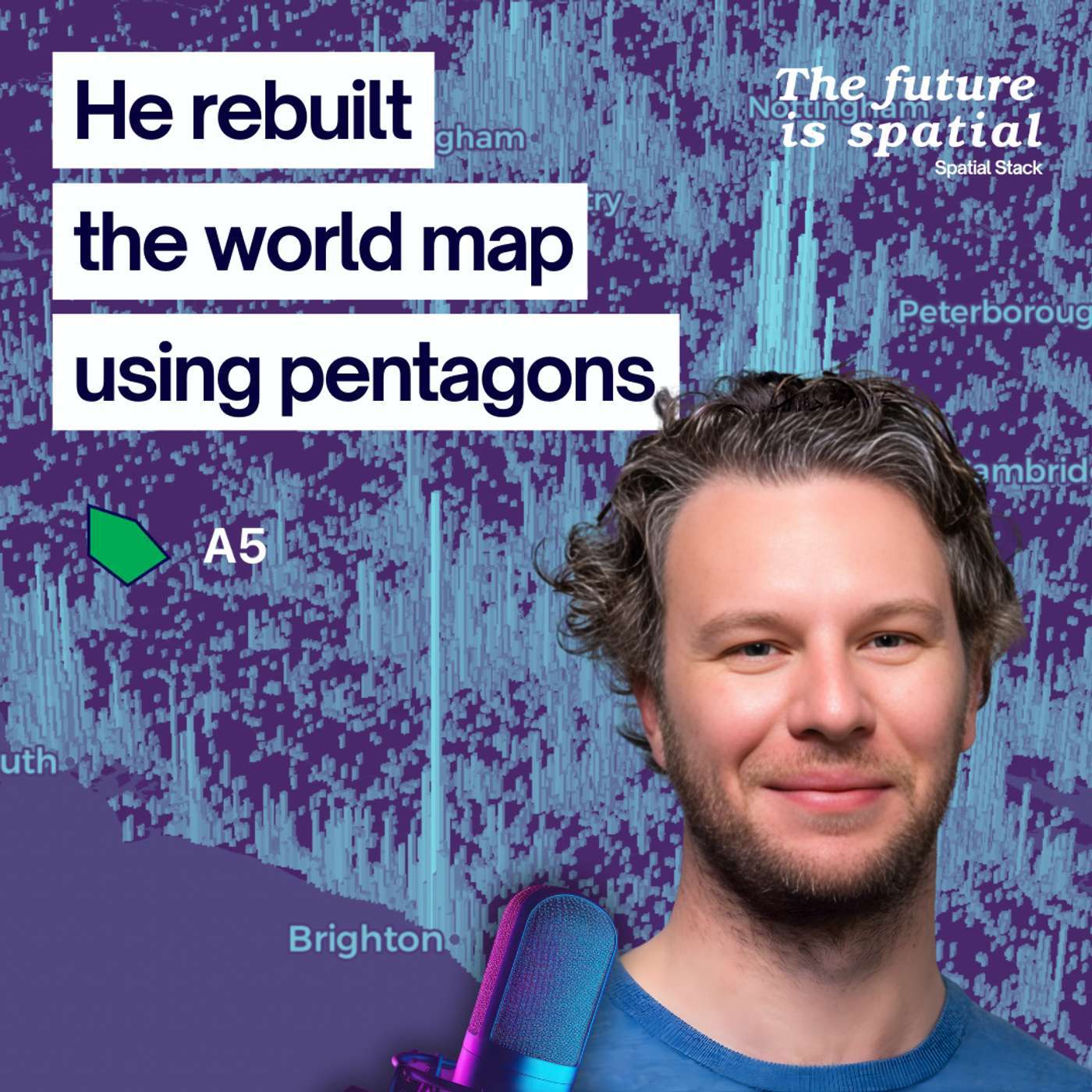 #30: A5: The Global Grid System Changing How We Map the World with Felix Palmer | In this episode, I sit down with Felix Palmer, creator of A5, a new global grid system that’s redefining how we represent and analyze the Earth.Felix shares how a 1980s math paper led him to build a pentagon-based global grid, one that fixes the distortions found in systems like H3 and S2, achieving true equal-area cells across the entire planet.We discuss the geometry behind A5, the trade-offs of global gridding, and why visual design and spatial computation are deeply connected.If you’ve ever worked with spatial indexes or wondered how we might rebuild the geometry of the globe itself, this episode will change the way you see maps.We cover:The origins of A5 and how it compares to H3Why equal-area grids matter for accurate analysisThe visual and geometric challenges of mapping a sphereA5 Website: https://a5geo.org/A5 on GitHub: https://github.com/felixpalmer/a5🚀 Ready to move beyond desktop GIS?Step into the Spatial Lab: a global community for ambitious geospatial professionals who want to break out of outdated workflows and join the top 5% of the field.👉 Join Spatial Lab: https://forrest.nyc/spatial-lab/🎓 Want structured, career-changing learning?🚀 Modern GIS Accelerator: https://forrest.nyc/accelerator/ — master Python, Spatial SQL & cloud workflows in 2 weeks🧭 Career Compass: https://forrest.nyc/career-compass/ — fast, practical steps to land the GIS role you want🪄 AI Copilot for GIS: https://forrest.nyc/ai-copilot-for-gis/ — learn to integrate AI into your geospatial workflows & boost your productivity📰 Weekly modern GIS insights: https://forrest.nyc⚡️ Spots for the next live cohort and mentorship cycle are closing soon, join now to lock in your place and momentum.CONNECT WITH ME📸 Instagram: https://www.instagram.com/matt_forrest/💼 LinkedIn: https://www.linkedin.com/in/mbforr/📧 Newsletter: https://forrest.nyc🌐 Website: https://forrest.nyc | 54m 18s | ||||||
| 10/23/25 | 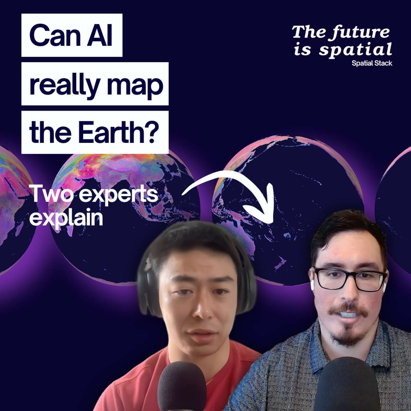 Embeddings, Foundation Models, and the Future of Earth Observation: Isaac Corley and Christopher Ren | What does it really take to teach AI to understand our planet?In this episode, Matt sits down with Isaac Corley, Senior Machine Learning Engineer at Wherobots and maintainer of TorchGeo, and Christopher Ren, Data Scientist and writer behind some of the most thought-provoking essays on Earth observation and AI.They dive deep into the state of Geospatial AI from embeddings and foundation models to how these tools are reshaping Earth observation and remote sensing. You’ll hear real-world perspectives on what’s working, what’s not, and where the hype outpaces reality.Key topics covered:What "embeddings" actually mean for geospatial and remote sensingHow foundation models like AlphaEarth and Tessera are trainedThe challenges of applying ML at global scaleThe future of Earth observation data pipelinesWhy geospatial AI is still the "wild west"If you’ve ever wondered how AI models are built to map, monitor, and understand the Earth, this conversation breaks it down without the buzzwords.LINKS:ISAAC CORLEYWebsite: https://isaacc.dev/LinkedIn: linkedin.com/in/isaaccorleyX: @isaaccorley_GitHub: @isaaccorleyI’m active in TorchGeo slack: free to join https://join.slack.com/t/torchgeo/shared_invite/zt-22rse667m-eqtCeNW0yI000Tl4B~2PIwCHRISTOPHER RENBlog: https://christopherren.substack.com/Podcast: Spotify | Apple | YoutubeLinkedIn: https://www.linkedin.com/in/christopherren/Geovibes/Github: https://github.com/cr458/geovibes🚀 Ready to move beyond desktop GIS?Step into the Spatial Lab: a global community for ambitious geospatial professionals who want to break out of outdated workflows and join the top 5% of the field.👉 Join Spatial Lab: https://forrest.nyc/spatial-lab/🎓 Want structured, career-changing learning?🚀 Modern GIS Accelerator: https://forrest.nyc/accelerator/— master Python, Spatial SQL & cloud workflows in 2 weeks🧭 Career Compass: https://forrest.nyc/career-compass/— fast, practical steps to land the GIS role you want🪄 AI Copilot for GIS: https://forrest.nyc/ai-copilot-for-gis/— learn to integrate AI into your geospatial workflows & boost your productivity📰 Weekly modern GIS insights: https://forrest.nyc⚡️ Spots for the next live cohort and mentorship cycle are closing soon, join now to lock in your place and momentum.CONNECT WITH ME📸 Instagram: https://www.instagram.com/matt_forrest/💼 LinkedIn: https://www.linkedin.com/in/mbforr/📧 Newsletter: https://forrest.nyc🌐 Website: https://forrest.nyc | 53m 43s | ||||||
| 10/16/25 | 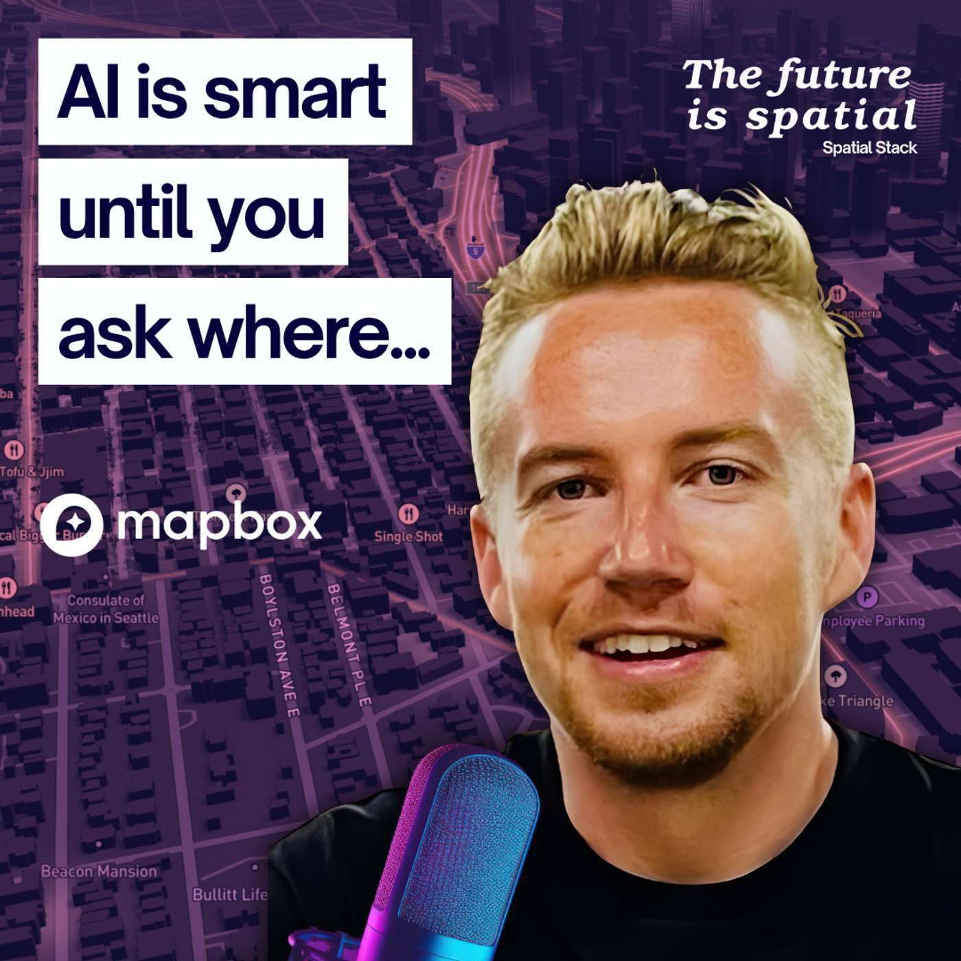 How Mapbox is Quietly Powering the AI Map Revolution with Kieran McCann | AI can answer almost anything, except “where.” That gap is huge, and Kieran McCann from Mapbox is working to close it.In this episode of The Spatial Stack, Matt sits down with Kieran, who’s spent six years helping Mapbox quietly power some of the most widely used maps and location services in the world. From his early days doing grunt map edits at Apple Maps to shaping Mapbox’s next big bet: AI-native mapping. Kieran shares what it takes to bring true spatial understanding into artificial intelligence.You’ll hear how Mapbox is experimenting with ways for AI to finally reason about place and direction, what’s still missing for models to “get” geography, and how anyone, even those just starting out, can build powerful AI + geospatial tools today. Kieran also breaks down how showing prototypes can change your career trajectory and why now is the perfect time to jump into this space.If you’re curious about where mapping and AI collide and what that means for your work, your career, and the apps we all use every day, this conversation is a must-listen.🚀 Ready to move beyond desktop GIS?Step into the Spatial Lab: a global community for ambitious geospatial professionals who want to break out of outdated workflows and join the top 5% of the field.👉 Join Spatial Lab: https://forrest.nyc/spatial-lab/🎓 Want structured, career-changing learning?🚀 Modern GIS Accelerator: https://forrest.nyc/accelerator/ — master Python, Spatial SQL & cloud workflows in 2 weeks🧭 Career Compass: https://forrest.nyc/career-compass/ — fast, practical steps to land the GIS role you want🪄 AI Copilot for GIS: https://forrest.nyc/ai-copilot-for-gis/ — learn to integrate AI into your geospatial workflows & boost your productivity📰 Weekly modern GIS insights: https://forrest.nyc⚡️ Spots for the next live cohort and mentorship cycle are closing soon, join now to lock in your place and momentum.CONNECT WITH ME📸 Instagram: https://www.instagram.com/matt_forrest/💼 LinkedIn: https://www.linkedin.com/in/mbforr/📧 Newsletter: https://forrest.nyc🌐 Website: https://forrest.nyc | 40m 43s | ||||||
| 10/9/25 | 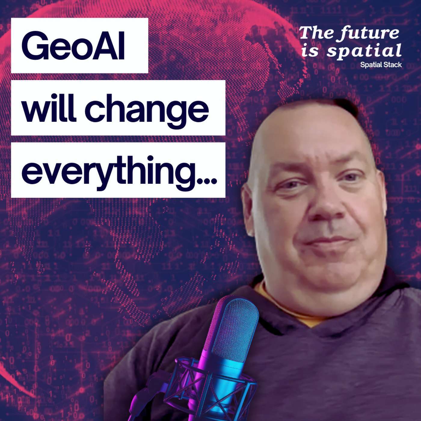 Why GeoAI Changes Everything in Mapping & Analytics: Tee Barr on Geography 2050 | GeoAI isn’t just another buzzword, it’s a turning point for the entire geospatial industry. In this episode of The Spatial Stack, Matt sits down with Tee Barr, Director at Verisk and Councilor for the American Geographical Society, to unpack why GeoAI could reshape the field as profoundly as GPS once did.From climate risk and supply chain resilience to defense, finance, and human security, Tee explains how AI is already influencing high-stakes decision making and why the upcoming Geography 2050 event is dedicating its theme to this massive shift.You’ll hear how GeoAI is challenging long-held assumptions about spatial data, the new opportunities and risks it creates, and why ethical responsibility must keep pace with technical innovation. Whether you’re a geospatial professional, business leader, or educator, this conversation will help you understand the stakes and the opportunities in the next era of mapping and analytics.Register for Geography 2050 here: https://www.geography2050.org/---🚀 Ready to move beyond desktop GIS?Step into the Spatial Lab: a global community for ambitious geospatial professionals who want to break out of outdated workflows and join the top 5% of the field.👉 Join Spatial Lab: https://forrest.nyc/spatial-lab/🎓 Want structured, career-changing learning?🚀 Modern GIS Accelerator: https://forrest.nyc/accelerator/ — master Python, Spatial SQL & cloud workflows in 2 weeks🧭 Career Compass: https://forrest.nyc/career-compass/ — fast, practical steps to land the GIS role you want🪄 AI Copilot for GIS: https://forrest.nyc/ai-copilot-for-gis/ — learn to integrate AI into your geospatial workflows & boost your productivity📰 Weekly modern GIS insights: https://forrest.nyc⚡️ Spots for the next live cohort and mentorship cycle are closing soon, join now to lock in your place and momentum.CONNECT WITH ME📸 Instagram: https://www.instagram.com/matt_forrest/💼 LinkedIn: https://www.linkedin.com/in/mbforr/📧 Newsletter: https://forrest.nyc🌐 Website: https://forrest.nyc | 27m 36s | ||||||
| 10/7/25 | 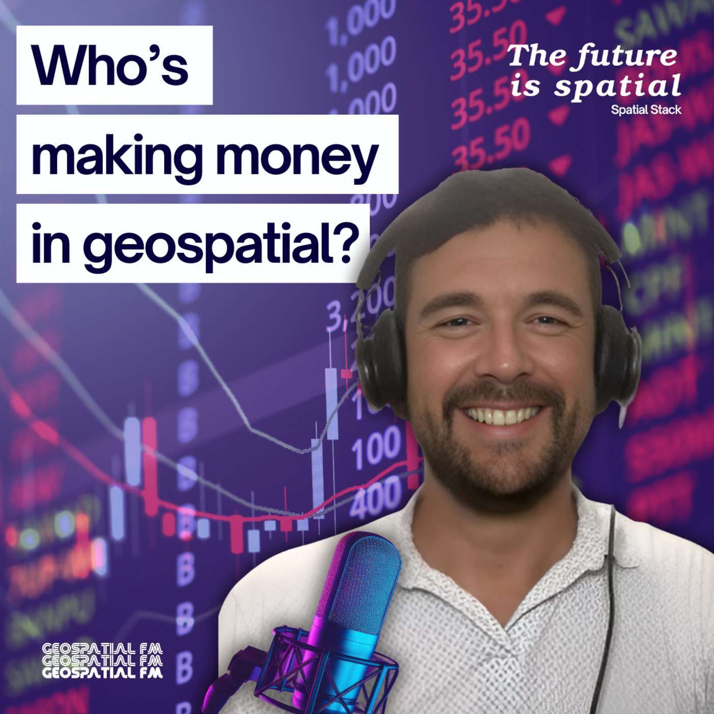 Turning GIS into ROI, One Stock at a Time | What happens when a geospatial professional decides to map the entire business of our industry?In this episode of Spatial Stack, Matt talks with Wilfred Waters, the creator of the first-ever Geospatial Index, a hand-built list tracking hundreds of public companies shaping maps, data, satellites, sensors, and spatial software. Will shares how he spent countless late nights pulling together every geospatial stock he could find, from Vietnam to Finland to the U.S., and what the process revealed about where the industry is heading.Along the way, we unpack how indexes work, why understanding the business side of geospatial matters (even if you’re not an investor), and how seeing the market clearly can help you think differently about your own career and the technologies you rely on.Geospatial FM on Spotify: https://open.spotify.com/show/5gpQUsaWxEBpYCnypEdHFCOn Apple Podcasts: https://podcasts.apple.com/us/podcast/geospatial-fm/id1674368928Substack: www.geospatial.fmIndex introduction and construction rules: https://www.geospatial.fm/p/compounding2024 Year In Review: https://www.geospatial.fm/p/2024-geospatial-stocks-performance⚠️ Nothing in this episode is investment advice. It’s for educational and informational purposes only. | 1h 08m 10s | ||||||
| 9/17/25 | 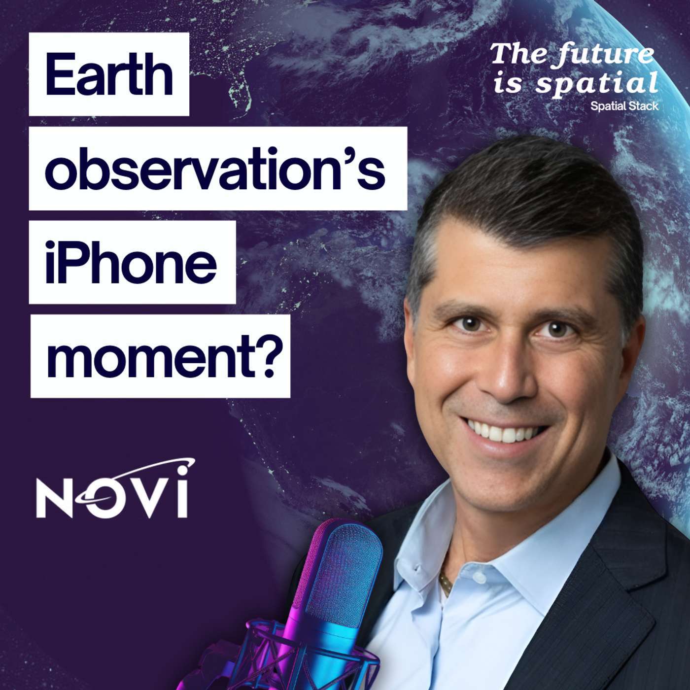 The End of Expensive Space Data: NOVI’s Vision for Earth Observation | What if satellites became as smart and as accessible as your smartphone?In this episode, I sit down with Michael Bartholomeusz, CEO of NOVI to unpack how Earth observation is being transformed by edge computing in space. We explore the shift from sending terabytes of raw imagery to delivering actionable insights, and why this change could take the cost of analysis from $150,000 down to under $1,000.Michael shares stories from his 25-year career, from working on the space shuttle that launched John Glenn, to leading NOVI’s dual-use strategy for defense and commercial markets. Along the way, we dive into:Why the current Earth observation model is brokenHow edge computing flips the economics of space dataThe “iPhone moment” for satellites and what it means for new applicationsReal-world examples of cost savings and new use casesThe industries poised to benefit most — from defense to agriculture to disaster responseThis is a conversation about more than satellites. It’s about making Earth observation affordable, democratized, and insight-driven.NOVI’s Website: www.novispace.aiNOVI’s LinkedIn: https://www.linkedin.com/company/novispace-incNOVI’s GENIE™ Constellation Press Release: https://www.newswire.com/news/novi-unveils-genie-tm-a-platform-and-satellite-constellation-that-22622479 | 38m 42s | ||||||
| 9/10/25 |  From Leafmap to GeoAI: Open Source, Education, and What’s Next with Dr. Qiusheng Wu | In this episode, I sit down with Dr. Qiusheng Wu, associate professor, open-source advocate, and creator of some of the most widely used tools in modern geospatial, including Leafmap and GeoAI. If you’ve ever watched his YouTube tutorials or come across his projects on GitHub, you already know the impact he’s had on the community.We dive into:His newly released Python for Geospatial book, one of the most complete guides in the field.The ongoing debate of Python vs. SQL in modern workflows—and how to combine them effectively.The rise of embeddings and geospatial foundation models (including Google’s AlphaEarth) and what they mean for GIS.The future of open-source education and why anyone, with patience and time, can learn and contribute.How Dr. Wu balances teaching, tool-building, publishing, and pushing the boundaries of what’s possible.This is a wide-ranging conversation about technology, education, and the future of spatial data. If you care about where geospatial is headed—and how to keep up—you won’t want to miss it.👉 Links Dr. Wu's Book on Geospatial Python: https://a.co/d/7M08rlYWebsite: https://wetlands.io/Dr. Wu on YouTube: @giswqs LinkedIn: https://www.linkedin.com/in/giswqs/ | 57m 04s | ||||||
| 9/4/25 |  Why Open Data Isn’t Really Open: Navigating Licenses in Geospatial with Mina Nada | Open data is supposed to unlock innovation, but what happens when “open” isn’t really open?In this episode of The Spatial Stack, I sit down with return guest Mina Nada to explore the world of open data licenses — from Creative Commons to Open Database Licenses and beyond. We break down what these licenses actually allow you to do, where the pitfalls are, and how they impact anyone building geospatial products, tools, or services.Along the way, Mina shares real-world experiences navigating licensing challenges, from NASA’s permissive CC0 approach to the more restrictive “share-alike” models. Whether you’re a developer, analyst, or entrepreneur, this conversation will help you understand how to work with open data without running into legal or business roadblocks.If you’ve ever wondered what “open data” really means for your projects, this is the episode to listen to.The future is spatial — so let’s get into it. | 24m 48s | ||||||
Showing 25 of 46
Sponsor Intelligence
Sign in to see which brands sponsor this podcast, their ad offers, and promo codes.
Chart Positions
8 placements across 7 markets.
Chart Positions
8 placements across 7 markets.